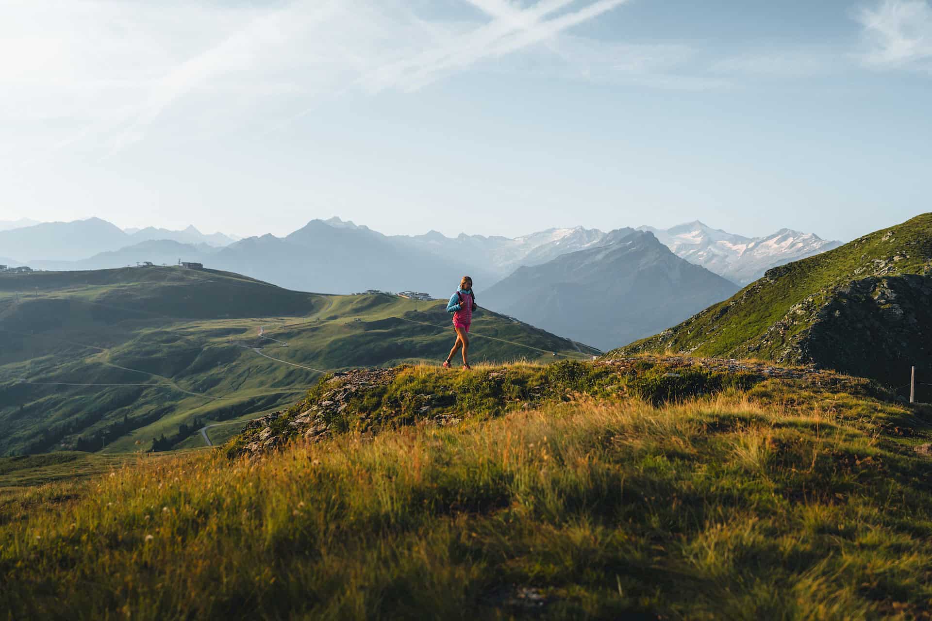
Hohe Tauern Panorama Trail
On eye level with Austria’s highest mountains
The Hohe Tauern Panorama Trail starts right next to a true natural jewel, the world-famous Krimml Waterfalls, and leads you a total distance of 275 km ranging from 690 to 2400 m above sea level, a hike via the sunny side of the Salzach River Valley to Großarl taking 96 hours to walk. With average stages of roughly 5 hours and 15 km, the Hohe Tauern Panorama Trail is a perfect challenge for fit hikers.
Rated red, in other words intermediate, the clearly marked long-distance hiking path takes you along compacted trails which, in some cases, require a degree of surefootedness. But the breathtaking views from our local mountain, the Wildkogel, of the Klein- and Grossvenediger – “his ages-old majesty”, as Salzburgers often like to refer to it – as well as the sight of picturesque Habachtal, famous for the only natural emerald deposits in Europe, are ample reward for all your efforts.
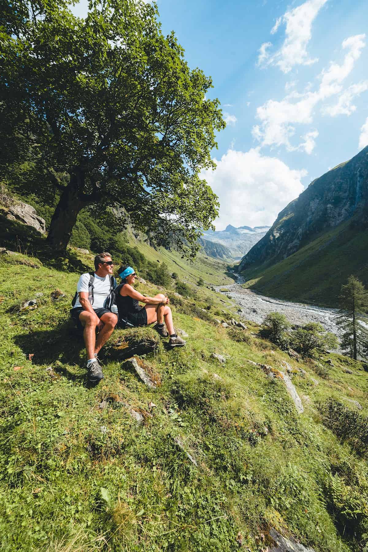
With every meter of elevation you gain above the valley floor, you come closer to your true self. Experience the liberating feeling as you stride onwards eye-to-eye with the highest mountains in Austria, enjoying the alternation between genuine mountain adventures and the comfort zone of occasional detours back to the valley. The Hohe Tauern Panorama Trail brings together all of this on 17 stages leading from Krimml Waterfalls to Großarl.
Facts & Figures:
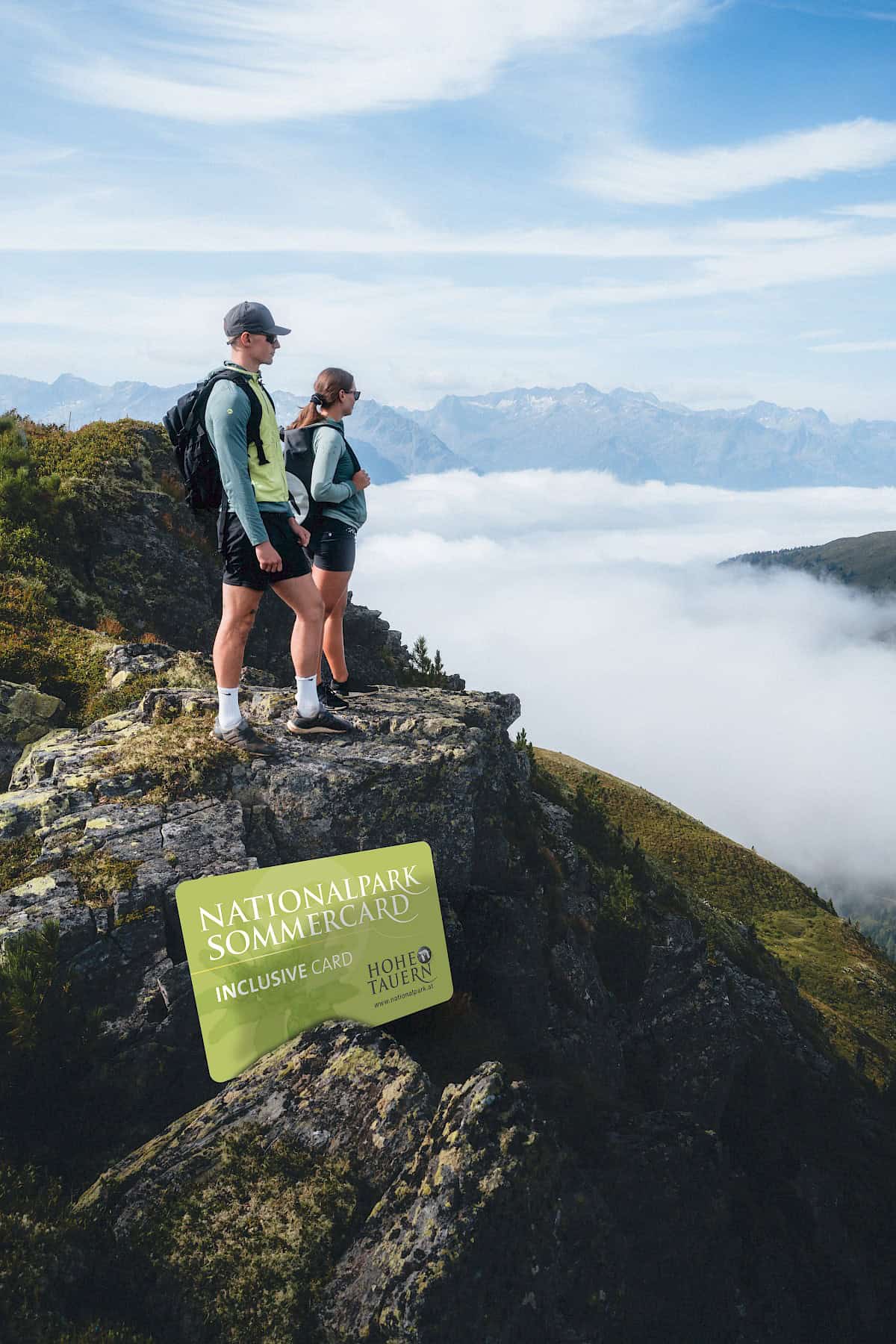
Particularly pleasant: as a holder of the Nationalpark SummerCard, which you automatically receive when you stay at a partner business, after a strenuous stage you will simply be able to float down to the valley on the Wildkogel lifts, then ride back up the following morning to begin the next stage – with the lift ride included free of charge. A really convenient feature, especially on our stages here in Neukirchen and Bramberg in the Wildkogel area.
Naturally, trail-hardened hikers can tackle the 17 stages in one fell swoop on 17 consecutive days. But in general, you will probably want to pick and choose just a few stages during any one holiday and combine them with several relaxed summer days spent in the valley.
Facts:
- 17 stages
- 275 kilometers total distance
- Gains: 13.889 vertical meters
- Descents: 14.001 vertical meters
- Total walking time: 96 hours
- Lodgings available in the valley and on the mountains
- If you book through Trail Angels, luggage transportation is also possible
- Opportunities to ride mountain lifts or book shuttle services

"Light" variant for newcomers to long-distance hiking – alternative routes
If you are not quite ready for the long stages of the Hohe Tauern Panorama Trail, you might want to satisfy your hiking urges on this new variant at moderate elevations. This easy alternative comprises four stages along the so-called Sun Path ("Sonnenweg"), a do-able hike even in bad weather or during the changing seasons. In addition, a perfect infrastructure including friendly huts and mountain inns provides hungry hikers with all the "creature comforts". This variant is ideal for a first taste of long-distance hiking. Or for families with children who don’t yet have the necessary stamina. That said, the scenery on this hike is also quite fantastic!
Your personal booking through “Trail Angels” offers you complete freedom
The “Hohe Tauern Panorama Trail” is aimed at ambitious hikers: The stages are generally rated “intermediate”. We suggest booking through the platform “Trail Angels”: This agency for sustainable tourism will take care of your every need during your stay as well as on your hike. Accommodation categories, length of stay, shuttle services and luggage transfer can all be customized to your needs. The “Hohe Tauern Panorama Trail” is clearly signposted. When you book, you will receive comprehensive map materials along with a tour guidebook with detailed descriptions. GPS data is available for free download.
Booking platformFAQs - Everything you need to know about the Hohe Tauern Trail
- What kind of physical condition do I need to hike the Hohe Tauern Panorama Trail?
The Hohe Tauern Panorama Trail presents significant challenges:
+ Average vertical gain 696 meters
+ Average descent 729 meters
+ Average length of stage 14.9 km
Each stage takes anywhere between 4 ½ hours and 6 ¾ hours to complete, not including breaks. Tip: Always plan one day off between stages. - What technical challenges can I expect during my hike on the Hohe Tauern Panorama Trail?
The Hohe Tauern Panorama Trail leads along marked mountain paths often through high-alpine regions at elevations as high as 2450 m. The Hohe Tauern Panorama Trail requires alpine hiking experience, surefootedness and a certain head for heights. From a technical perspective, the Hohe Tauern Panorama Trail is generally moderately difficult: stages follow mountain trails of intermediate difficulty indicated by a red dot.
- Is the Hohe Tauern Panorama Trail suitable for children?
The Hohe Tauern Panorama Trail is suitable for children 12 and older who are in very good condition.
- Can I hike with my dog on the Hohe Tauern Panorama Trail?
Unfortunately, it is not possible to bring your dog along on the Hohe Tauern Panorama Trail.
- How will I navigate along the path?
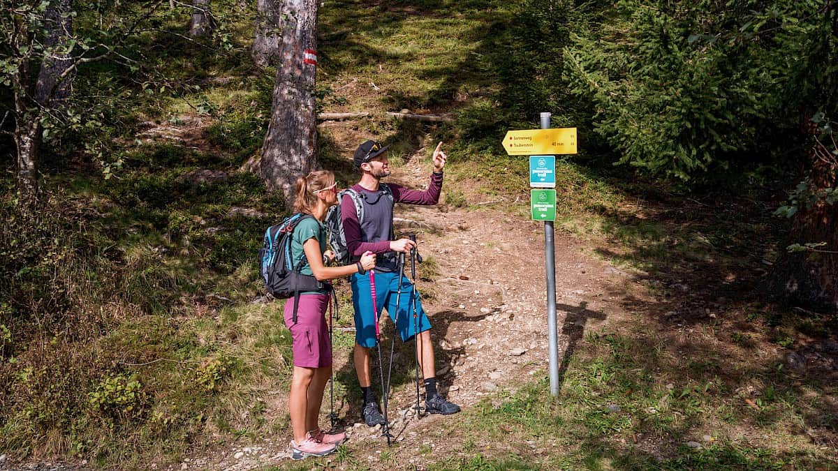
The Hohe Tauern Panorama Trail follows existing marked hiking paths and is indicated separately. As a rule, the logo of the Hohe Tauern Trail is a sign attached to the existing markings of the hiking path in question. The direction arrow always points in the direction of Zeller See. More about trail signs here!
- What months are most suitable for my long-distance hike on the Hohe Tauern Panorama Trail?
The best time of year for a long-distance hike on the Hohe Tauern Panorama Trail is from June until the end of September. In the months from July through August, the Hohe Tauern Panorama Trail is an excellent way to avoid the hot summer temperatures in the valley thanks to elevations between 1200 m and 2450 m above sea level.
>> Details about current conditions on each of the stages! - What equipment do I need for the Hohe Tauern Panorama Trail?
Alpine hiking equipment is required for the Hohe Tauern Panorama Trail:
+ Day pack (ca. 20 liters) with rain wrap
+ Sturdy, comfortable shoes
+ Durable, weather-appropriate, multi-layer clothing. The Hohe Tauern Panorama Trail generally runs at elevations between 1300 m and 2450 m - take that into account when you choose your hiking gear (especially your clothing).
+ Trekking poles are highly recommended due to often lengthy descents
+ Personal protection against the sun and rain
+ Make sure you have plenty of provisions and a big enough drinks bottle, since there are not always refreshment opportunities or natural springs on every stage (e.g. stages 5 and 7)
+ First-aid kit
+ Pocket knife
+ Mobile phone
+ Tour description and hiking map - How do I find suitable accommodations along the Hohe Tauern Panorama Trail?
From ****ˢ wellness hotels to bed-and-breakfasts and refuge huts, here you will find a full selection of accommodations along the Hohe Tauern Panorama Trail
If you book through the official Trail Angels Panorama Trail Info & Booking Center, you will find three different lodging categories, shuttle services, luggage transportation, tour documentation, a Trail Hotline as well as optional services such as guiding, travel insurance and offers for special exciting activities. - Can I also hike the Panorama Trail in the reverse direction – from Zell am See to Krimml?
Yes, of course! On the final stage, next to Krimml Waterfalls, the fine mist coming off the falls provides pleasant refreshment.
- Is there a luggage service?
Yes, when you book through the official Trail Angels Panorama Trail Info & Booking Center, you can also select luggage shuttle service. They will then transport your luggage (max. 20 kg) from one night’s lodgings to the next.
Please note: Luggage service cannot be offered for the Panorama Alm, Bürglhütte (if you are stay at the mountain hut rather than in the valley) or the Pinzgauer Hütte. In these cases, your luggage will automatically be transferred to the next night’s accommodations. - Can I arrive on public transportation?
The Hohe Tauern National Park Holiday Region has very good public transportation links. For example, many transregional trains stop in Zell am See. From Zell am See, trains running on the Pinzgauer Lokalbahn line stop hourly at all valley communities between Zell am See and Krimml, while public bus services are also available.
- How do I get my Nationalpark SommerCard?
The Nationalpark SommerCard is an all-inclusive card issued by participating lodging establishments when you stay as little as one night. You can use or visit free of charge one of 60 attractions daily – including sightseeing attractions, museums, natural wonders, recreational and sports facilities as well as the mountain lifts. Additionally, the Nationalpark Sommercard also entitles you to ride all public transportation and participating hiking taxis for free.

